An Amazing Ride comes to an End

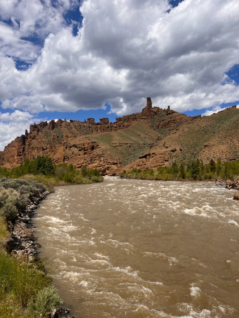
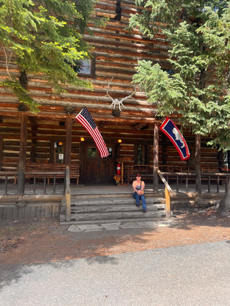
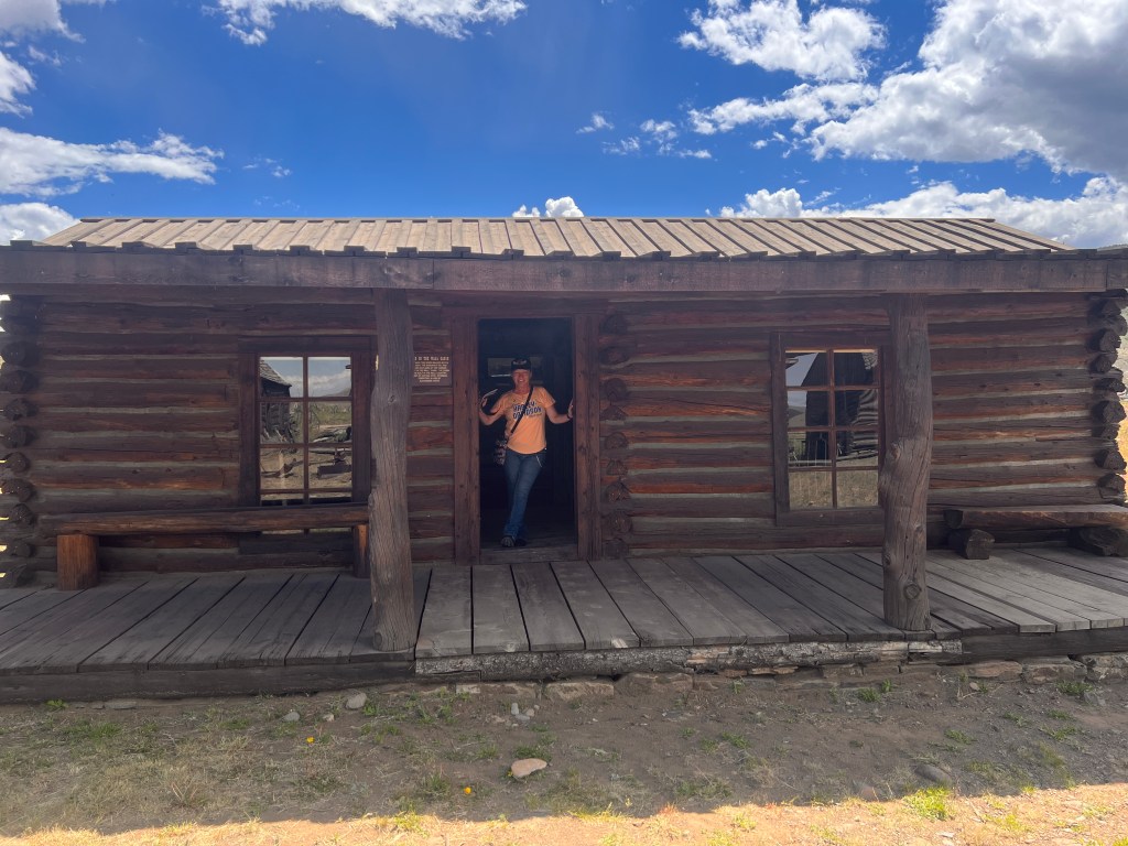
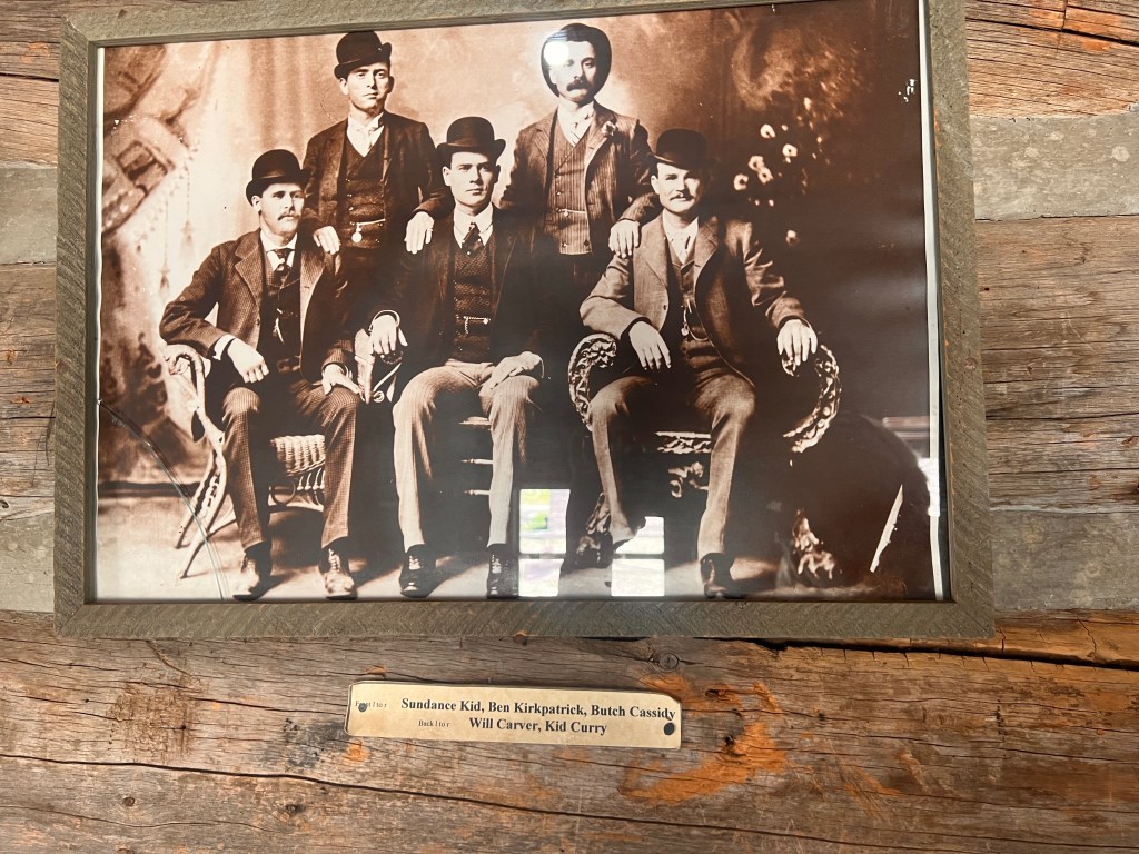
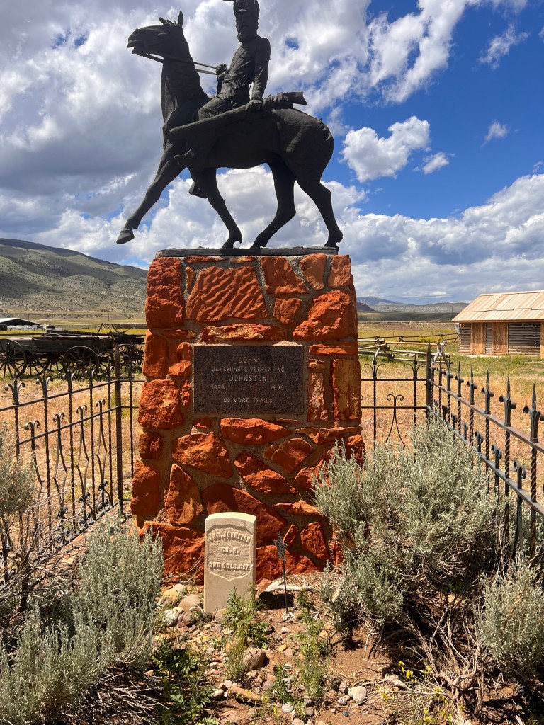
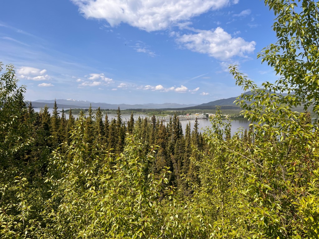
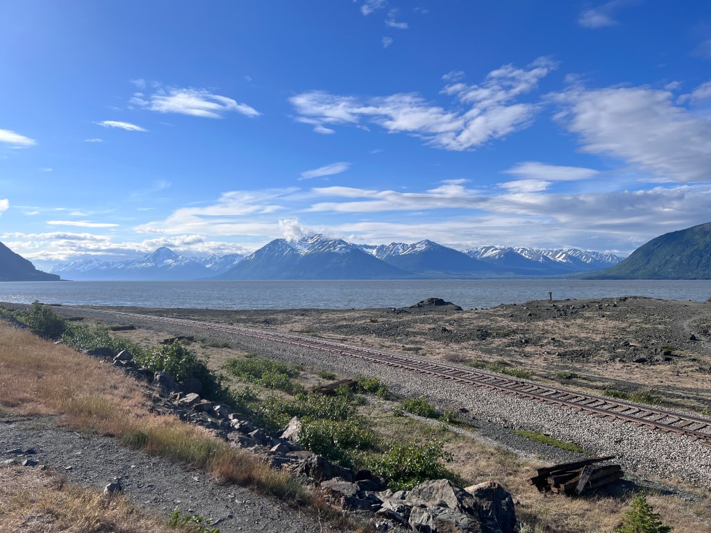
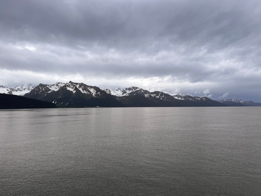
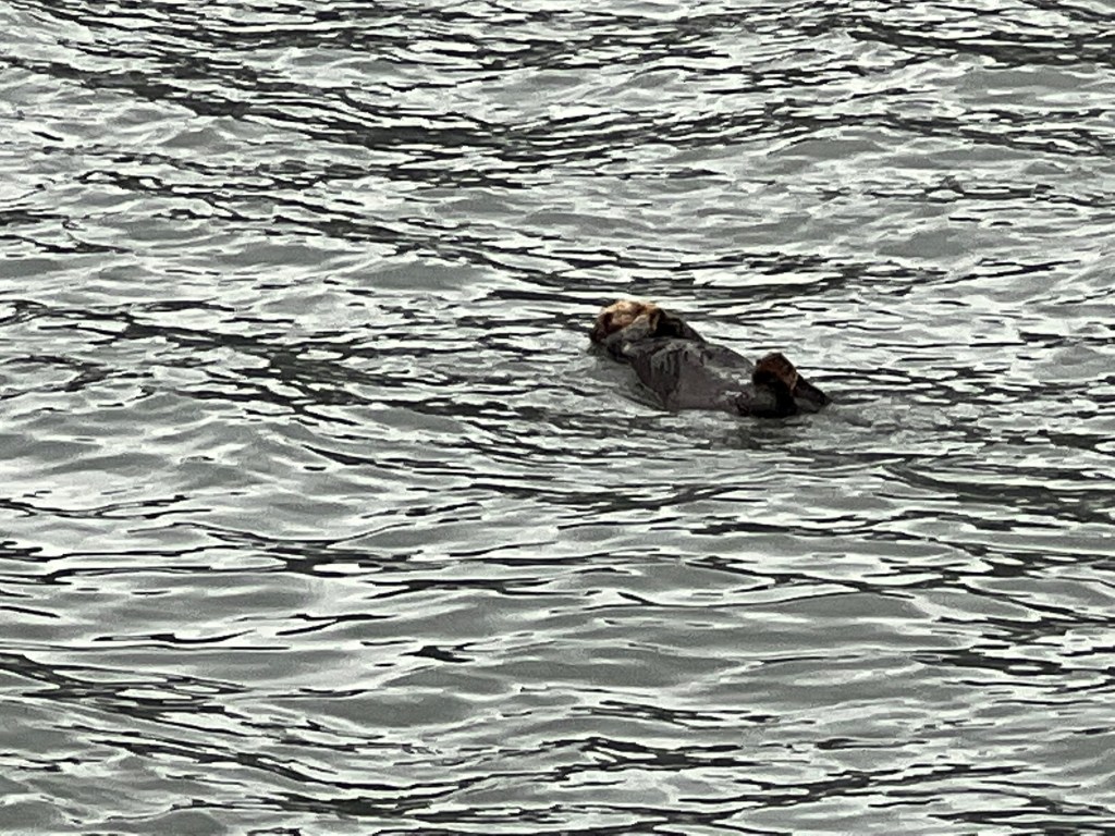
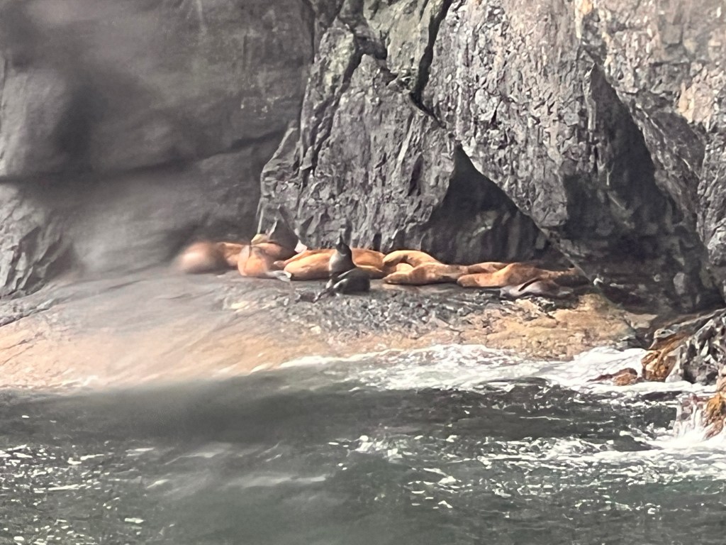
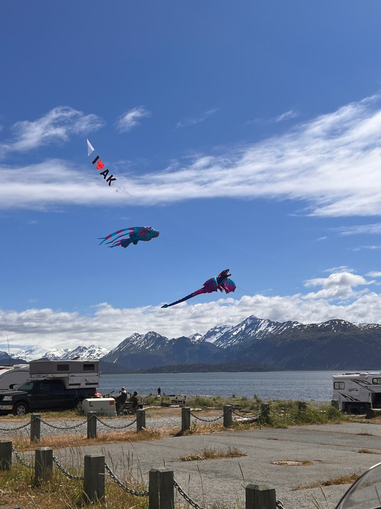
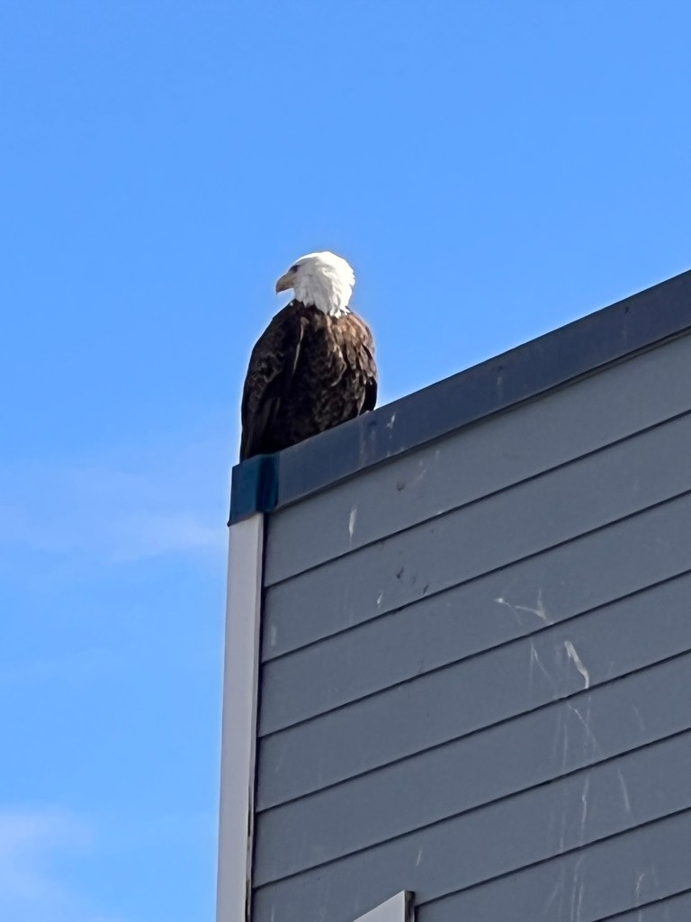
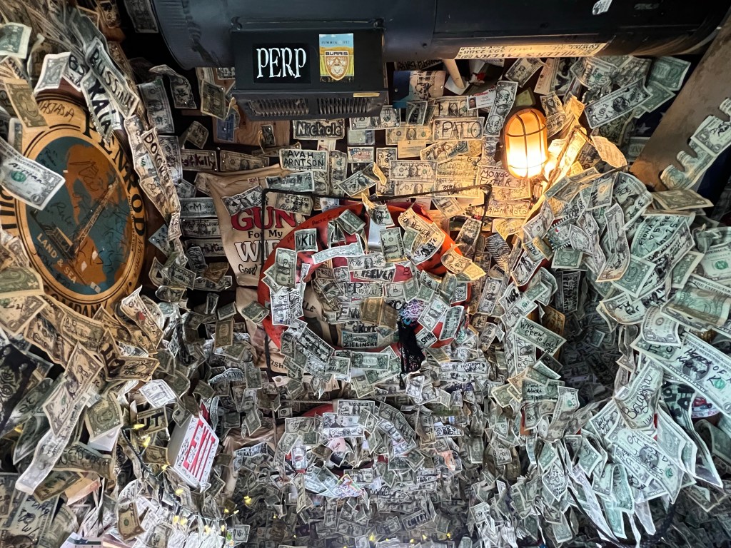
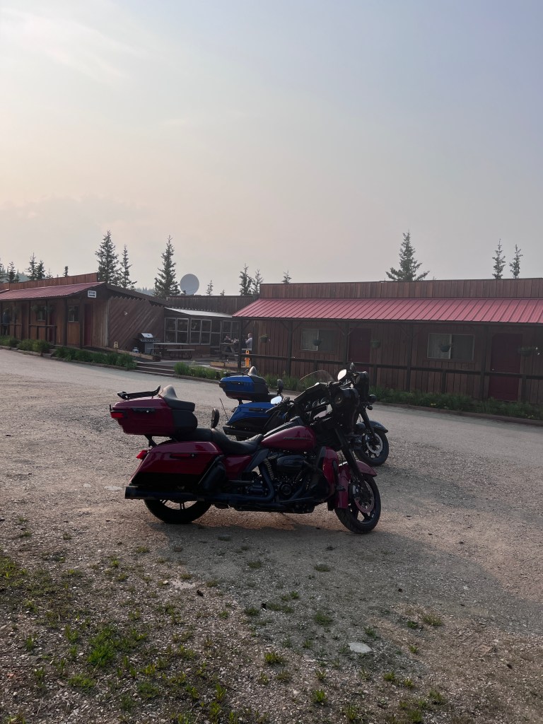
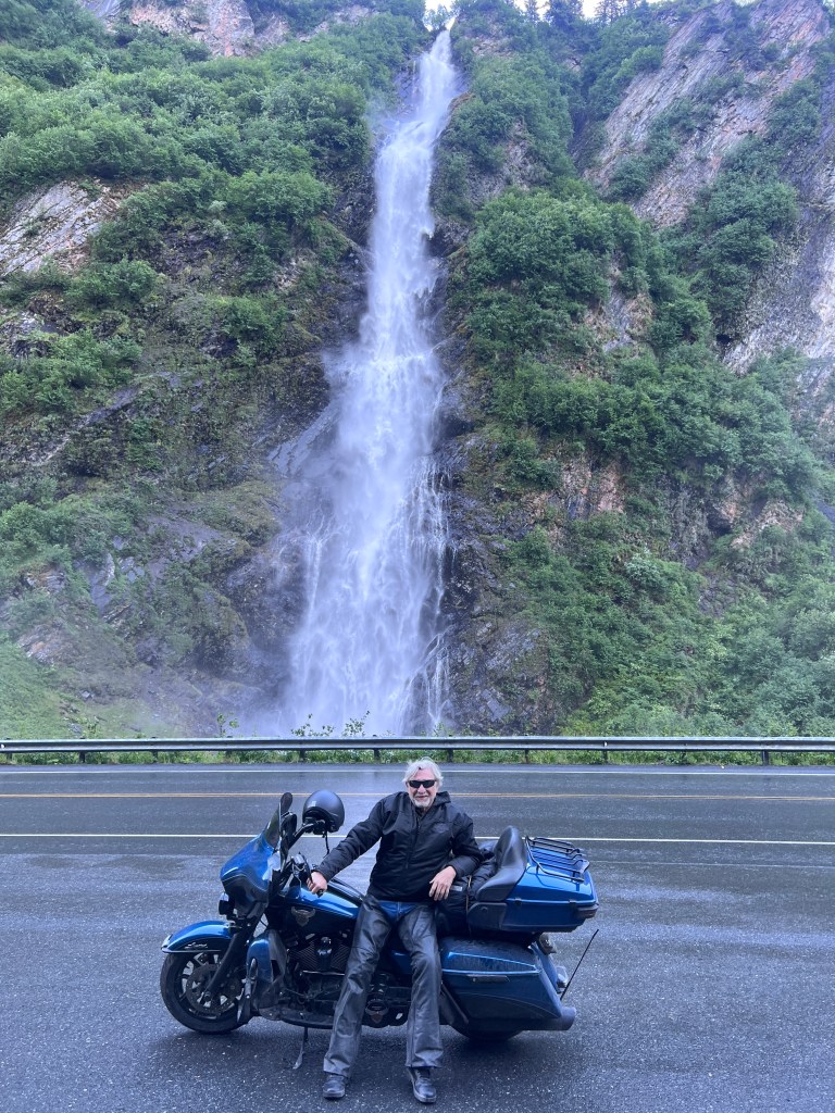
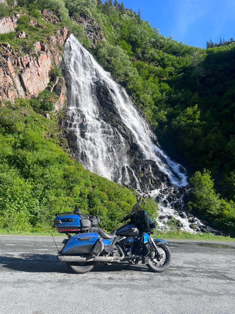
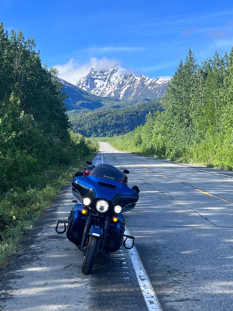
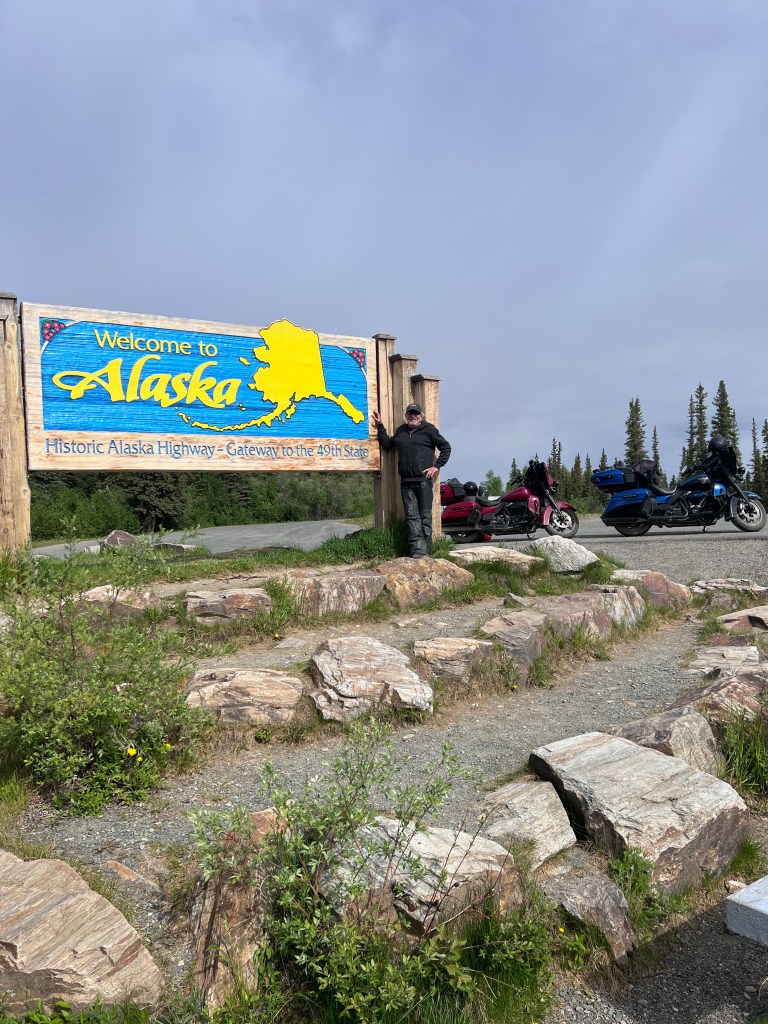
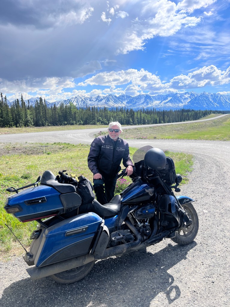
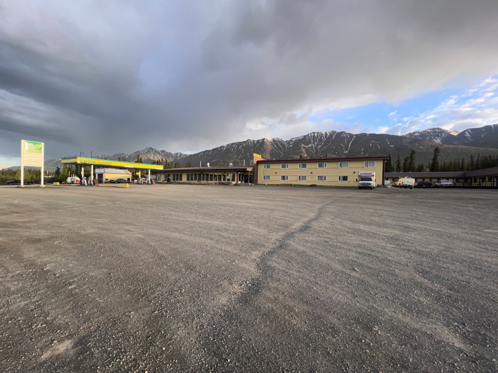
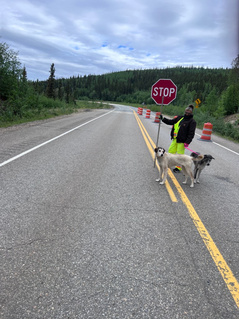
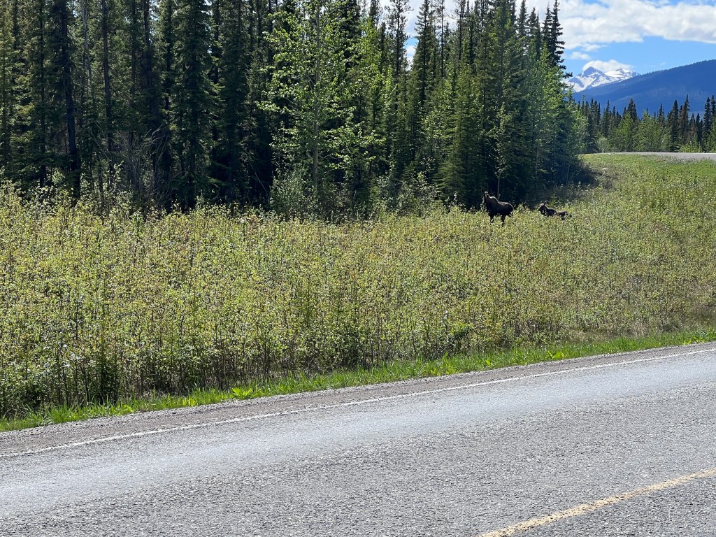
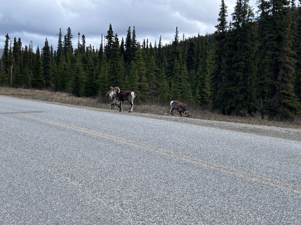
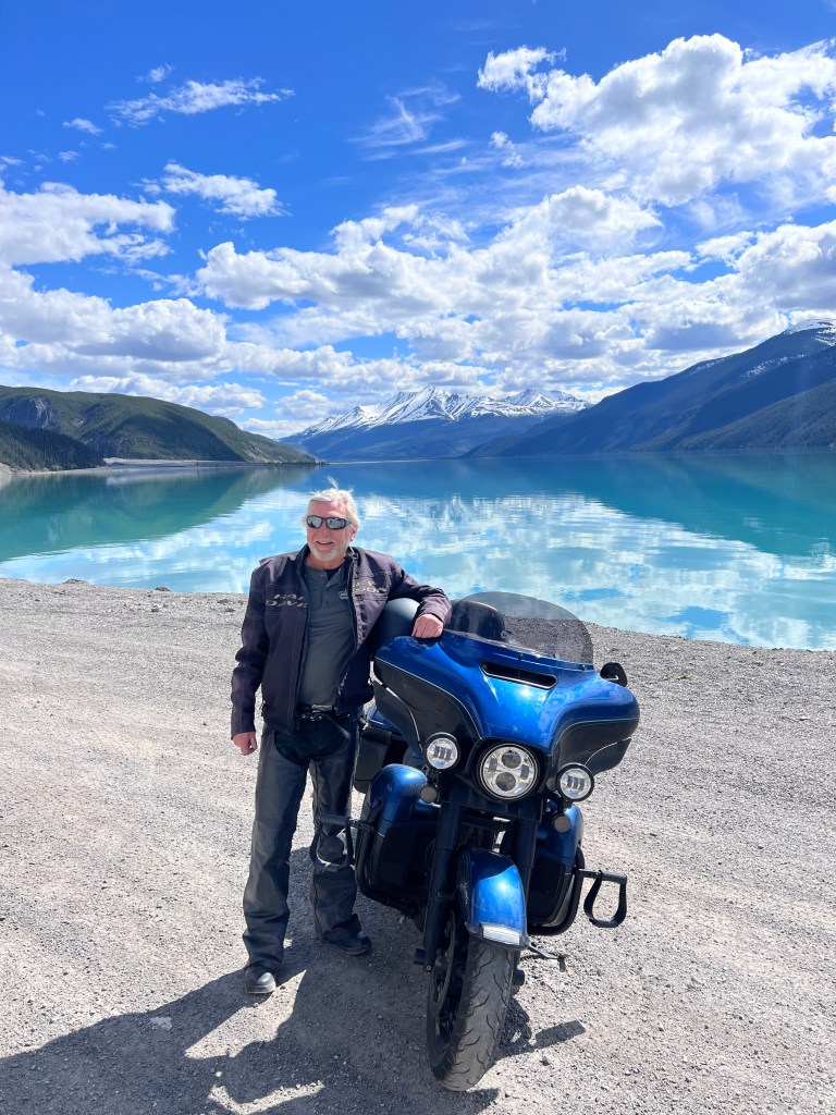
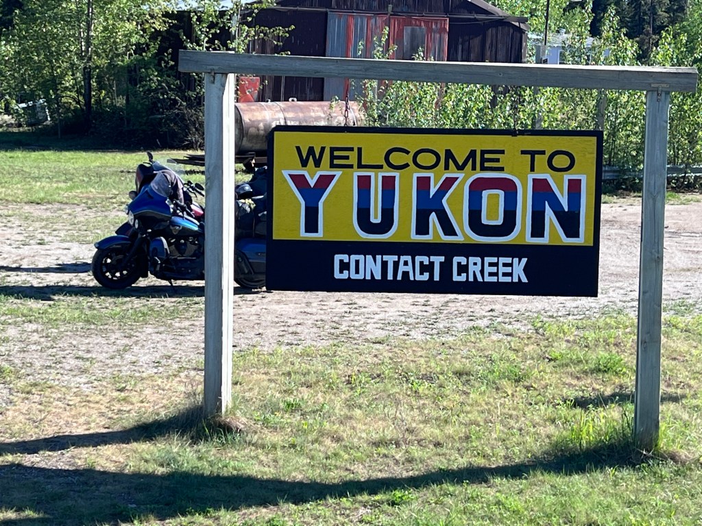
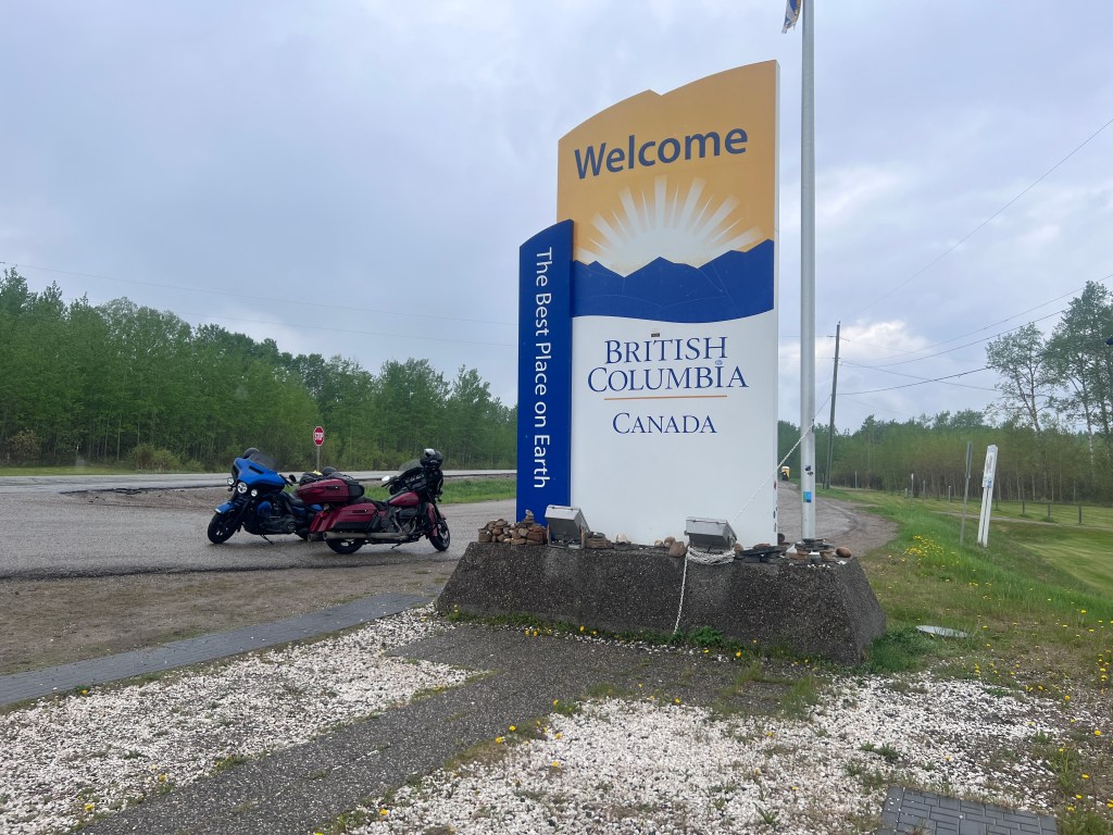
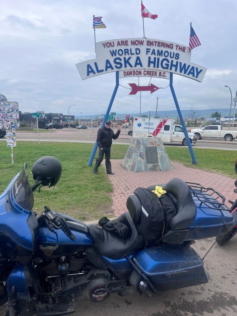
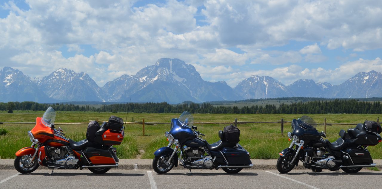
Yesterday we completed the final leg of the ride from Cody back to home after riding nearly 9,000 miles over the past 3+ weeks. The ride was everything I could have imagined which included beautiful scenery, numerous animal sightings, good conversations with people we crossed paths with along the way and the challenging riding conditions frequently encountered.

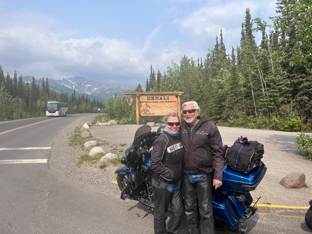
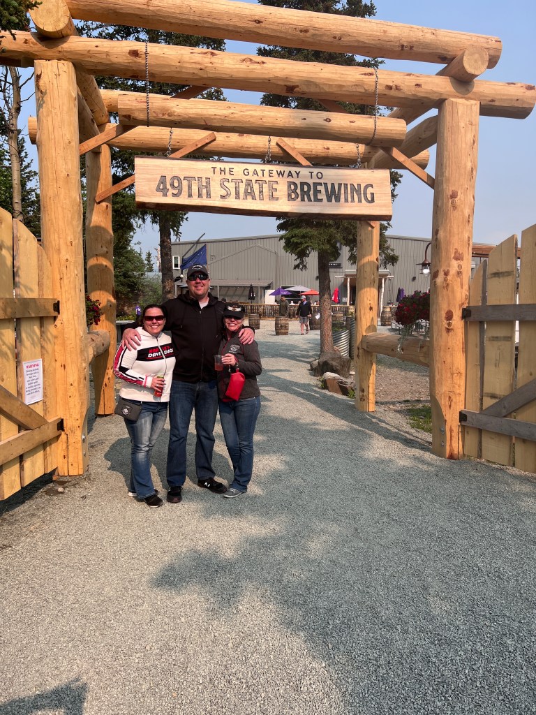
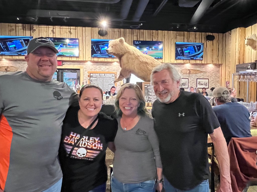
Need to thank Rick for taking this adventure with me, Carrie and Kelley for meeting us in Alaska to explore the last frontier together and Will for accompanying us to the Canadian Border in Montana on our way up and then meeting up with us once again at the US/Canadian border in Washington for the return ride.

Very special thanks to Kelley for supporting me on this long time bucket list trip that meant so much to me!

Not sure where the next big ride will take me? We did meet a couple of adventure bike riders that were on their return trip from Alaska to Uruguay. Makes me think that I have never ridden that far south?

Kick’n Back in Cody

Here in Cody for the ‘Kick’n it in Cody’ Harley Rally and using the time to kick back in Cody and discover more about this town. Been through here many times but did not take the time to visit.

Taken from the top of the Buffalo Bill Dam just west of Cody. When this dam was completed as the Shoshone Dam in 1910 it was the highest dam in the World.
The Shoshone River on the ride to East Yellowstone
Buffalo Bill’s hunting lodge just east of Yellowstone

Cabin used by the Wild Bunch relocated to Old Trail Town in Cody

Butch, Sundance and the rest of the Wild Bunch
Jeremiah “Liver Eating” Johnstown’s final grave site at Old Trail Town

Over 2,000 people attended Johnston’s reburial in 1974 making it possibly the largest service in Wyoming history at that time. Robert Redford who played Johnston in the movie served as a pall bearer.

Ending our day at the Pat O’Hara Brewery steps from our hotel room.

Back in the USA

Completed our 1200 ride from where we entered British Columbia just off the Alaskan Highway to the US border.

Toward the end of BC ride we rode through the Frazier Canyon. Large river (about the size of the Colorado) flowing through this canyon at flood stage. Train tracks on both sides of the river with lots of tunnels and bridges. While riding through we had trains simultaneously on both sides going in opposite directions. All the pull-outs for photos were filled with construction equipment to replace damaged bridges. Further into the canyon there had been a recent fire which destroyed a small town in its path

British Columbia is a beautiful place with vast snow covered mountain ranges, large lakes, wide flowing rivers and lush greenery. Oh yea – and lots of bears! The Canadians have a gem with this one.

When we crossed the border into Sumas Washington Will was waiting for us at Bob’s Burgers and Brews to ride with us to the Harley Rally in Cody. Unfortunately we were off on our border crossing time and Will had been waiting for nearly 5 hours at the fun establishment where everyone knew his name by now. We had little choice but to join him at the bar and blow off the remainder of the day’s ride and get rooms upstairs at Bob’s. Was a good time.

Departed Bob’s the next morning for a ride to North Cascades National Park and the onto a ride on the Oregon side of the Columbia River.

View of Columbia River from the View House

Ended our the day back on schedule in Lewiston Idaho after a 730 mile day (payback for our fun at Bob’s).

Our ride to Cody began with a 200 mile ride on Hwy 12 along the Lochsa and Clearwater Rivers to the Montana border. Fantastic motorcycle ride.

Completed our ride into Cody meeting up with Kelley and many of our riding friends here for the rally.

British Columbia

Complexed our 3rd day of our return trip from Alaska. The first 900 miles were on roads we traveled going out but from a different viewpoint . Late in yesterday’s ride we turned off from the Alaskan highway onto the Cassiar Highway taking the Western Route to the US.

The Cassiar is a 450 mile road that connects the Alaskan Highway to the Yellowhead Highway further south. It is a narrow 2 lane mountain road with grades and twisties making it difficult for trucks and larger RVs but nice for motorcycles. Both the road conditions and scenery were much better than the Alaskan Highway.

Due to the higher than average snow totals and higher temperatures coming late for the snow melt the rivers here are overflowing, flooding towns and washing out roads. There are so many large rivers and lakes in the Yukon and British Columbia it’s hard to think about water shortages in the Western US.

Bridge over Teslin River in the Yukon. Water is nearly up to the bridge and already flooding the town of Teslin.

There are many of the steel bridges spanning the wide rivers along our route. Nice to look at but the steel grate roadways add interest to the ride when wet. Along the Cassiar encountered some shorter wooden roadway bridges which are even worse in bad weather.

Did encounter a few moose but more bears including 2 large Grizzlies and a Black Bear with a couple or cubs. Have seen warning signs for Caribou but no sightings. Thinking they may be like the Unicorn.

Have averaged 575 miles per day the past 3 days making for longer riding days. As we rode into Prince George yesterday and started encountering more traffic it appears we are transitioning from watching for wildlife in the wilderness to keeping an eye out for distracted drivers in the rat race.

Kenai Peninsula

Past 3 days we have been exploring the Kenai Peninsula towns of Seward and Homer. Countless scenic views and wildlife sightings

Ride to Seward
Sea Otter and Baby floating in Resurrection Bay
Resurrection Bay Sea Lions

Homer Spit is a 4.5 mile narrow piece of land out to the bay

Kites over Homer Spit
Lands-End at the tip of the Spit
This guy was content on his Perch at the end on the Spit

Salty Dog walls and ceiling covered with cash! Thinking if they had a fire the cash loss would exceed the structural damage costs.

Returned to Anchorage which wraps up our Alaska touring. The wives fly home tomorrow and Rick and I head back into Canada. Next 2 day’s rides are back over the Alaska Highway we rode on the way here. Perma frost heaved road on day 1 and a lot of chip seal resurfacing on the 2nd day before heading south on the Cassiar Highway which is the western route through Canada. No doubt some new adventures.

Denali

Completed an overnight ride to Denali National Park. We’re allowed to ride 15 miles into the park which is the paved portion of the road. Only park tour buses are permitted past the point where the road becomes gravel.

There are a couple of wild fires burning in Alaska and the smoke from these fires is preventing a view of the 20k+ Mt McKinley (renamed Denali a few year ago?)

Spent the night at the small town of Healy which is a few miles north of the park. Not much there but our motel.

And a great brewery across the road

Anchorage

Friday was a relaxing 300 mile day after averaging 550 miles the past 6 days. Nice weather day with beautiful scenery along the way.

Bridal Vail Falls

Arrived in Anchorage about the same time as the wive’s flight landed. Looking forward to exploring Alaska with Kelley during the next few days.

Whew! Made It!

Past 2 days of riding have been both challenging and rewarding.

Where there is not a lot of chip seal work being done on the roads there is a lot of rough heaving roads. My bike went airborne more than once navigating the damaged areas

However the scenery makes all of the challenges meaningless

Icefields Ranges are Canada’s highest mountains. Mt. Hubbard over 15k feet

Our accommodations in Destruction Bay. Gas/motel/bar and dining . Only game in town

Our fist bike issue surfaced Thursday morning as Rick’s rear tire had picked up a sharp stone from riding through all of the chip sealing and was down on air. We had the tools to plug it and were soon on our way.

We encountered our first grizzly bear sighting later in the morning. He was a few yards off the road. We stopped and had a brief stare out with him while deciding if we should reach for a phone for a photo. He made the decision for us as he moved back into the trees.

After crossing into Alaska we found the roads to be about the same.

The road Flag People are a little more casual in Alaska. The dogs appreciate all the attention from waiting motorists

Ended today’s ride in Valdez

Riding through British Columbia to the Yukon

Ride started out in fog and light rain but gave way to great weather by the time we started up the mountains west of Fort Nelson. The scenery in BC was amazing and included an abundance of critters .

Multiple Moose but Rick did no see the Hugh Bull Moose he is wanting to see
Bighorn Sheep were abundant including laying by the narrow road over the summit

Encountered a few good sized Black Bears and Buffaloes but passed on iPhone close up photos

Munsco Lake BC
Entered the Yukon Territory just before stopping for the night
Our accommodations at Watson Lake are more appropriate for Klondike Country. (taken @ 10:30p)

Alaska Highway (AlCan) Mile Zero

Day 3 began in foggy drizzle turning into light rain and cool temperatures for the entire 580 mile ride.

Once entering British Columbia the landscape transitioned into more hills and forest type terrain

At Dawson Creek we merged onto the Alaskan Highway at mile 0 (1,700 mile ride just to get to the beginning of the Highway!)

Concluded the day’s ride at Fort St John. Was mighty neighborly of the Canadians to give us my own Fort for our stay.